Reference diagrams
LETTER · Download PDF
A4 · Download PDF
Free original resources
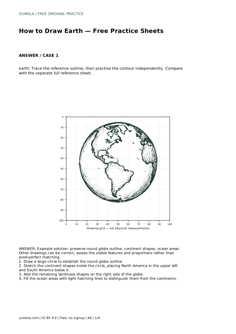
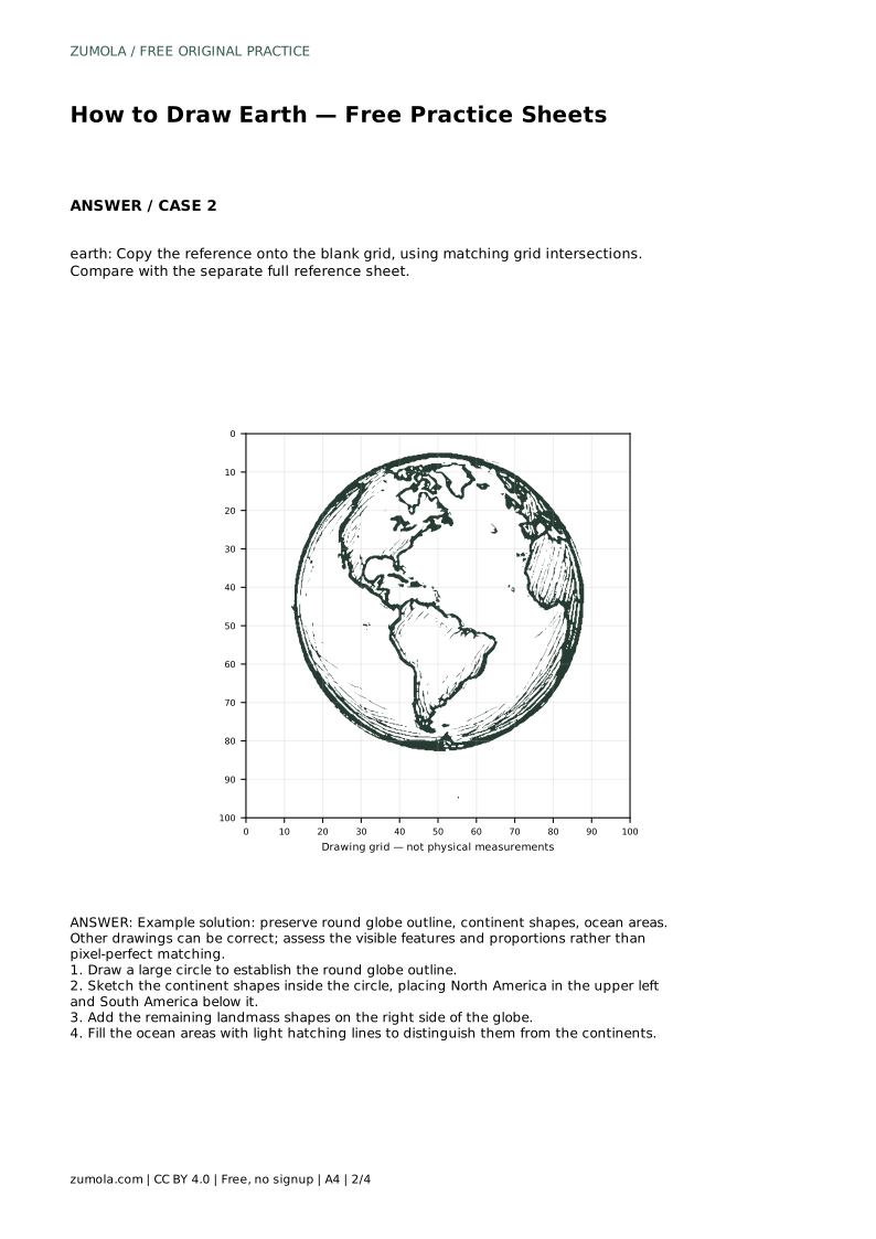
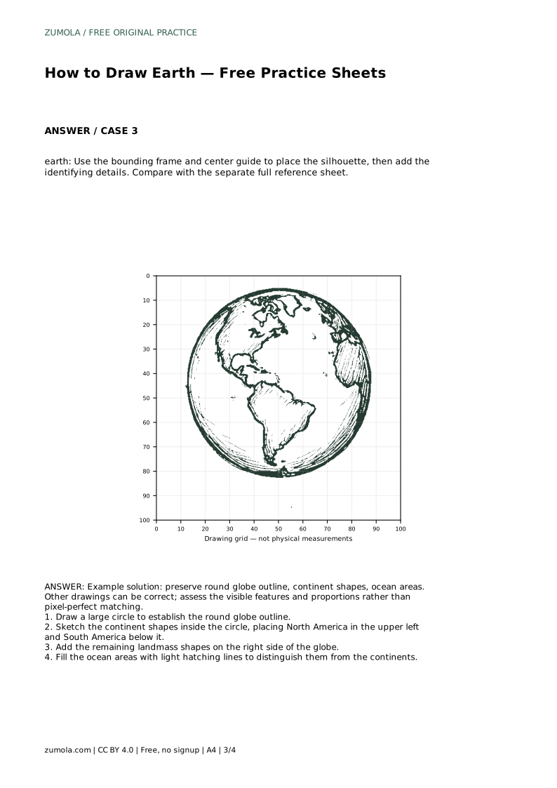
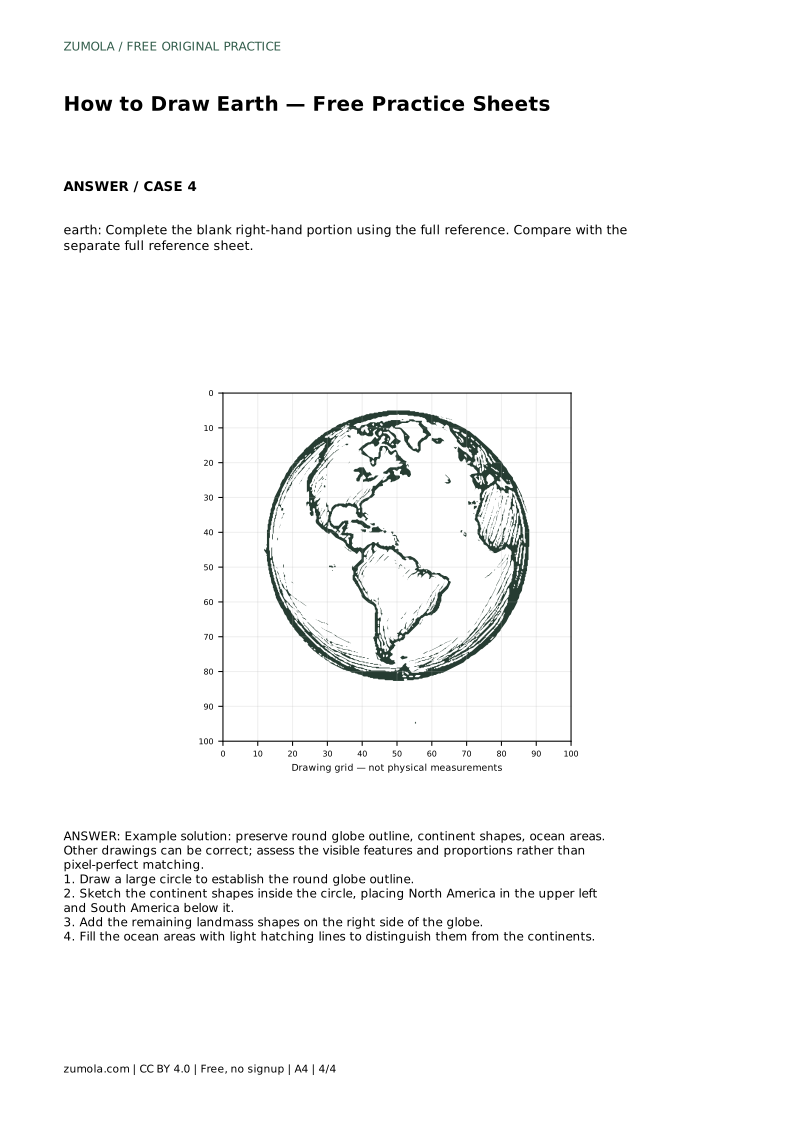
Learn to draw an Earth outline with a round globe, recognizable continent shapes, and hatched oceans. Trace, copy, or complete a reference sheet, then self-check.
Four original cases, with reference diagrams, practice sheets and worked answers. Everything is free; no signup required.
LETTER · Download PDF
A4 · Download PDF
LETTER · Download PDF
A4 · Download PDF
LETTER · Download PDF
A4 · Download PDF
Use A4 or US Letter to match your printer. Use the stated values and conditions to solve each exercise; diagrams are not physical measuring rulers.
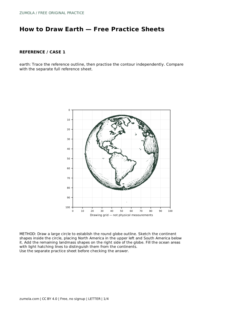
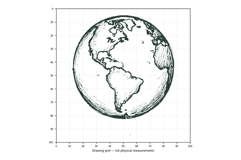
Drawing Earth is mostly a problem of placement: one large circle, then landmasses arranged so the globe reads correctly. This page explains a reliable order for building the outline, from the globe circle to continent shapes to ocean hatching. Use it alongside the printable practice sheets, which offer tracing, grid copying, guide-frame, and partial-completion versions. Because drawings of Earth can vary, judge your work by visible features and proportions rather than an exact match.
Every version of this drawing begins with the same foundation: a single large circle that represents the globe. Draw it lightly so you can adjust it later. A circle that is slightly wider than tall still reads as Earth, but an obviously lopsided oval will make the continents harder to place.
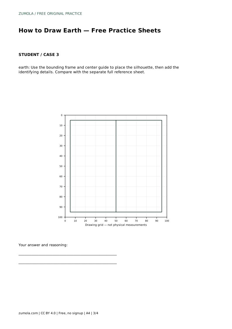
Keep the circle centered in the space available. If you are using a bounding frame or center guide, let those marks position the circle rather than drawing freehand and correcting afterward. Light pressure matters here: the circle is a container for the landmasses, not the final outline.
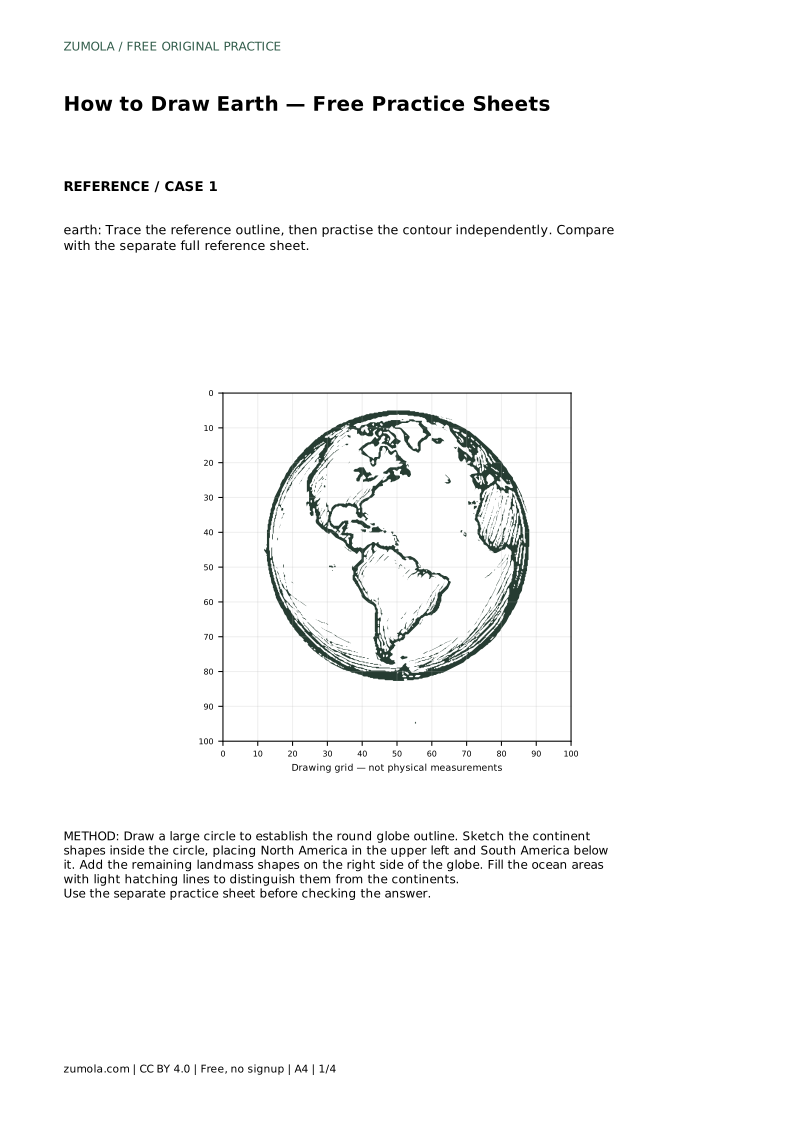
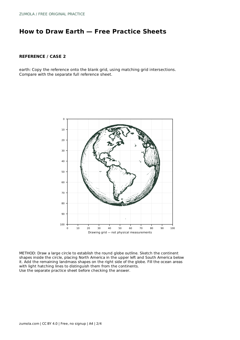
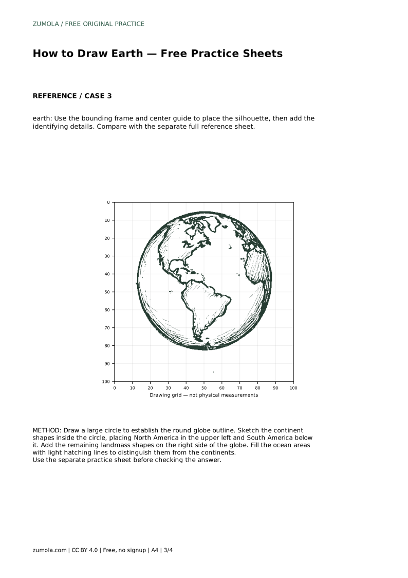
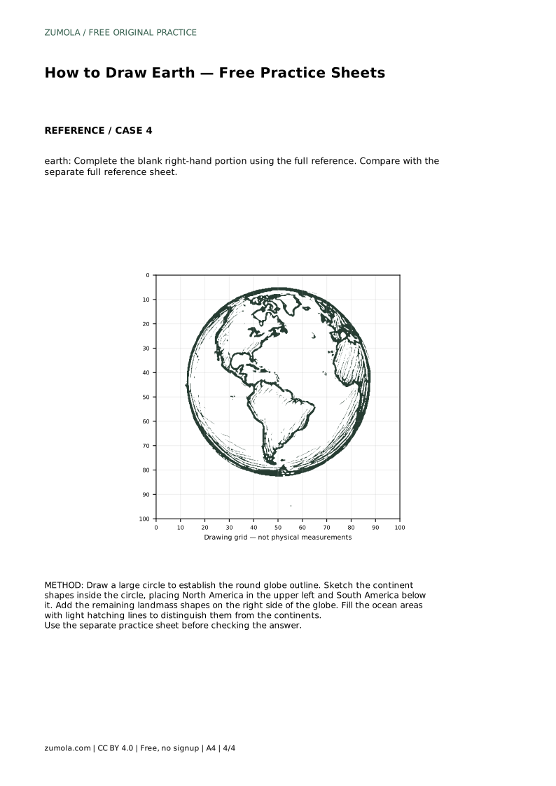
Begin with North America in the upper left of the circle, then place South America below it. These two shapes anchor the left side and make the globe immediately recognizable. After that, add the remaining landmass shapes on the right side of the globe.
Treat each continent as a simple closed shape first, then refine its edges. Avoid drawing every coastline detail at this stage; the goal is a clear outline with believable proportions. Landmasses should sit inside the circle with ocean space visible around them, not press against the globe edge everywhere.
Fill the ocean areas with light hatching lines to distinguish them from the continents. Hatching means drawing closely spaced parallel lines; keep them light and consistent so the land shapes remain the focus. Leave the continents clear or lightly shaded so the two areas read differently.
Hatching also helps you check your outline. If an ocean area looks too narrow or a continent looks too large, adjust the outline before adding more lines. The hatching is a finishing layer, not a fix for misplaced shapes.
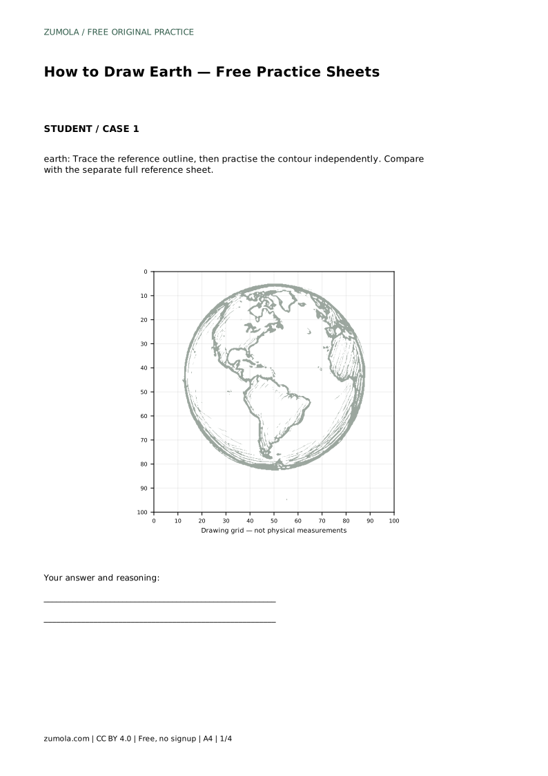
When your drawing is complete, compare it with the separate full reference sheet. Check the round globe outline, the continent shapes, and the ocean areas in that order. Small differences in coastline are acceptable; the drawing should still read as Earth at a glance.
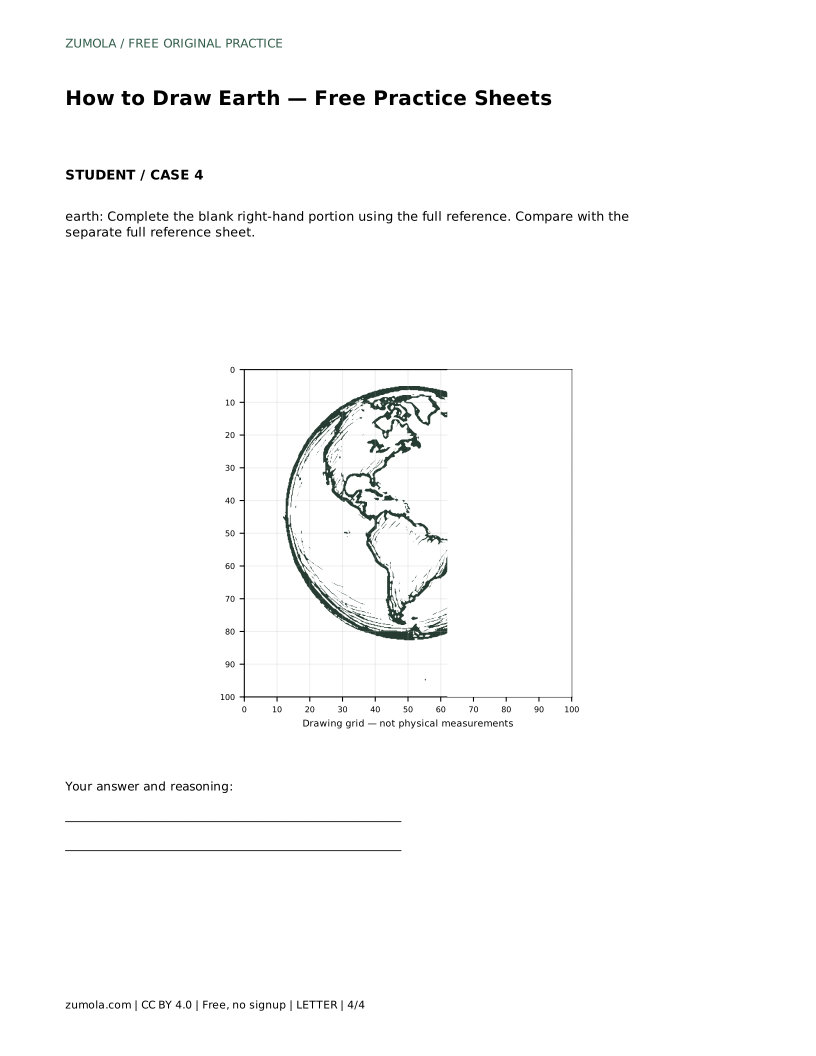
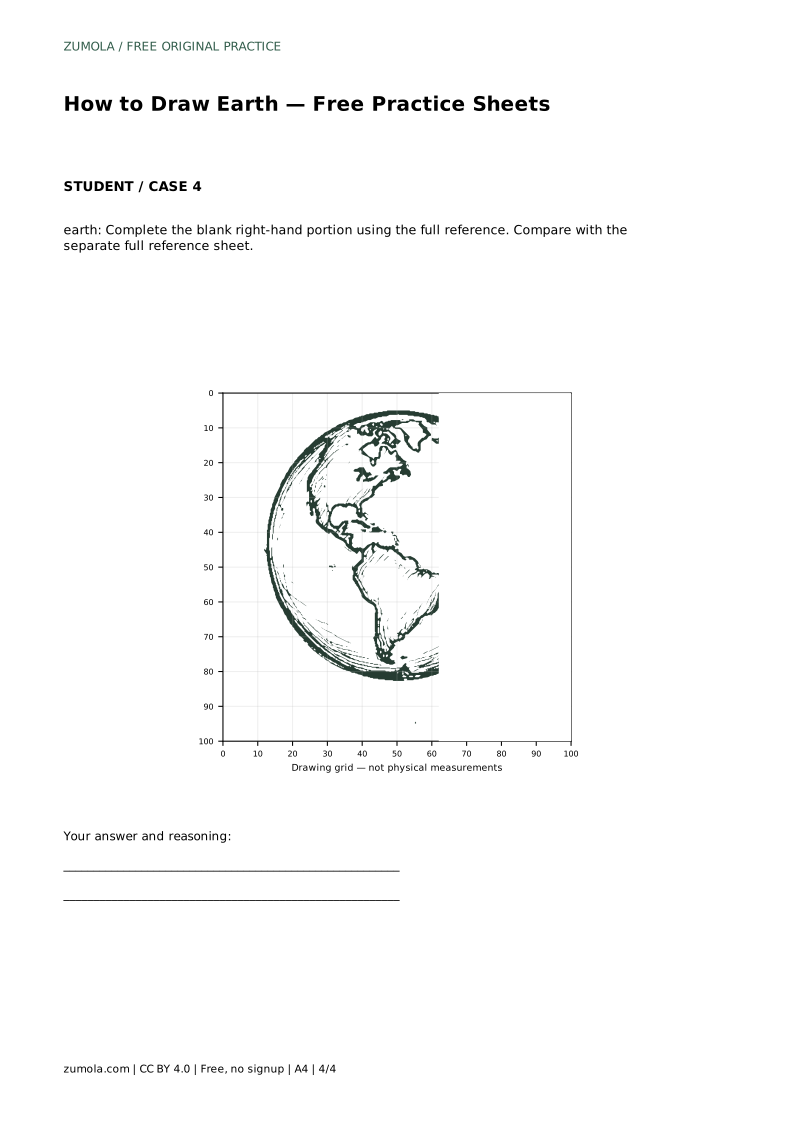
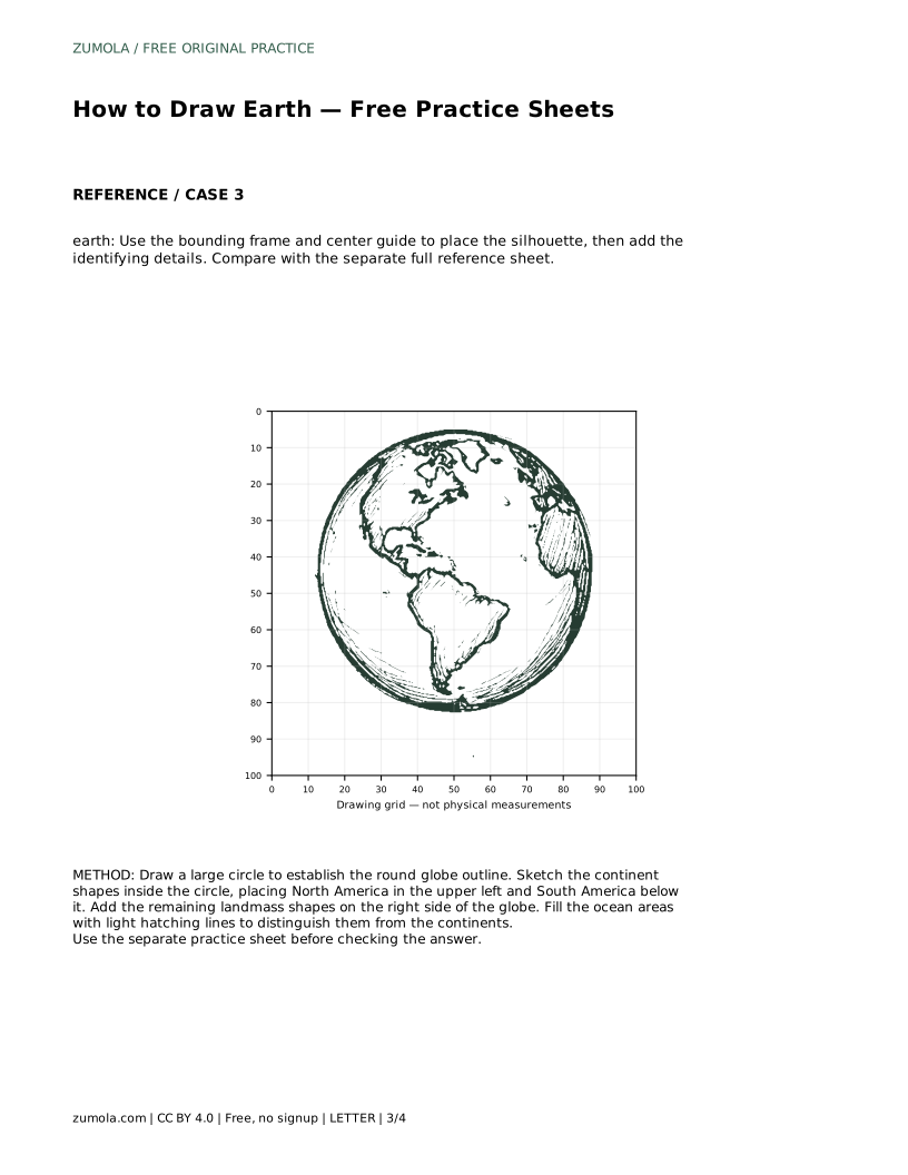
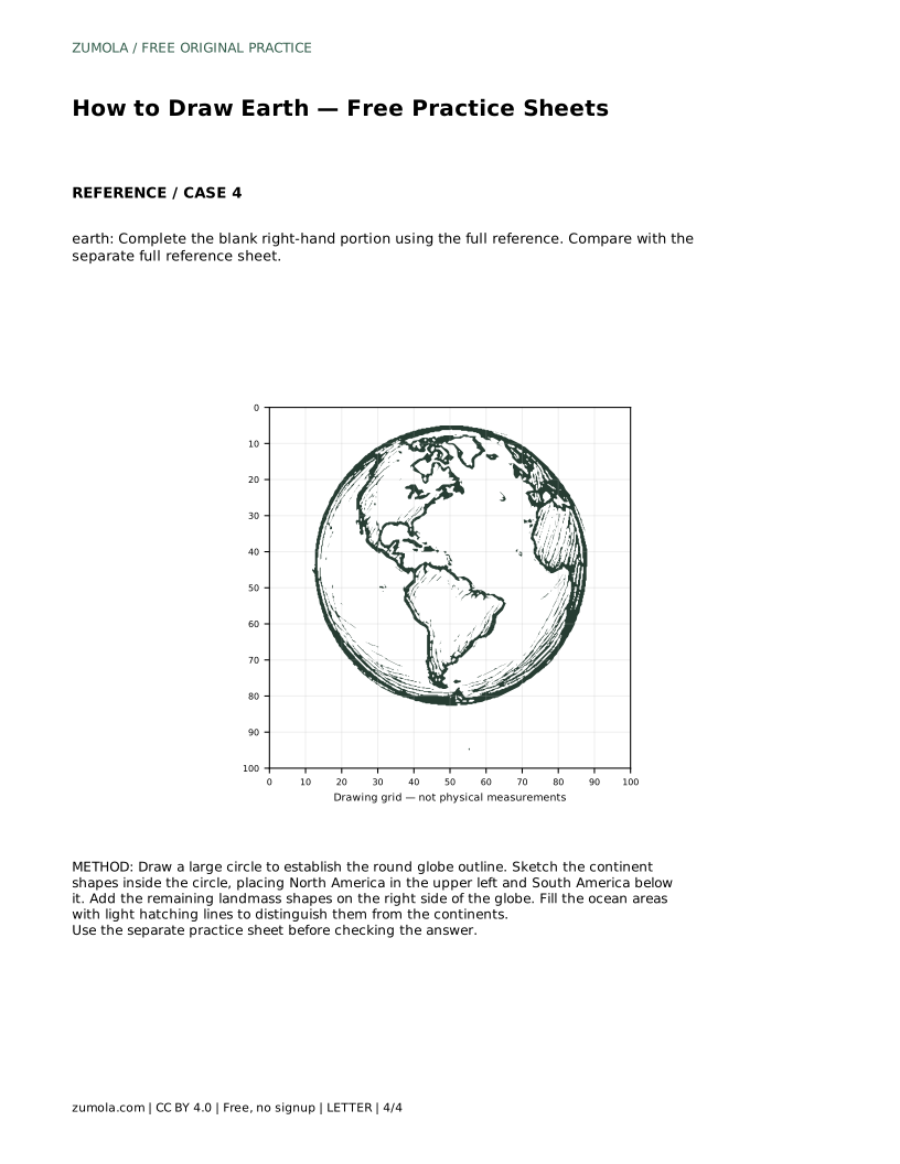
If you used a tracing sheet, repeat the contour independently afterward and compare again. If you used a grid, check that shapes land near matching grid intersections. If you completed only the right-hand portion, confirm the new shapes connect naturally to the existing left side.
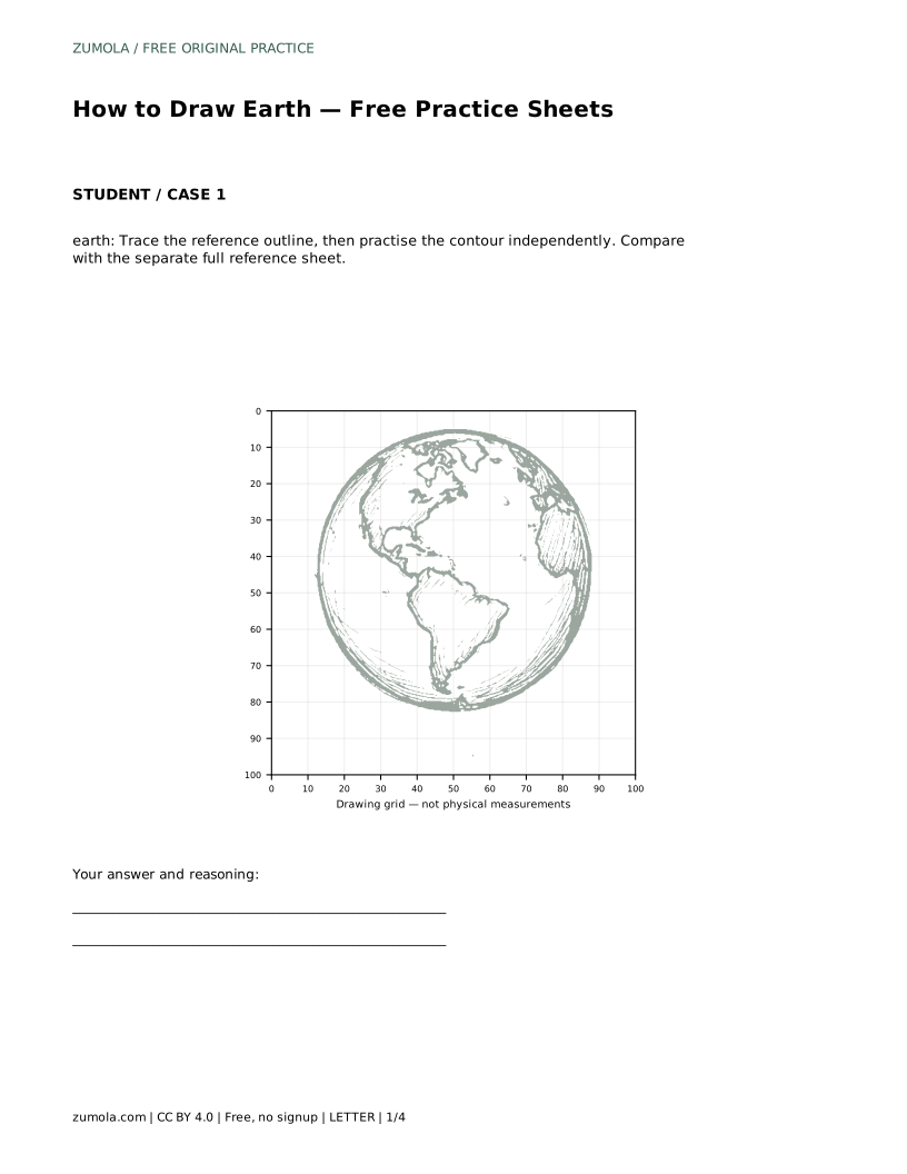
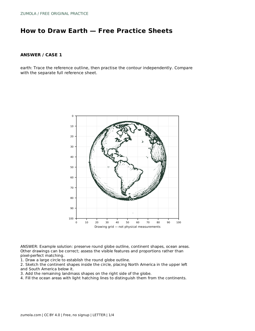
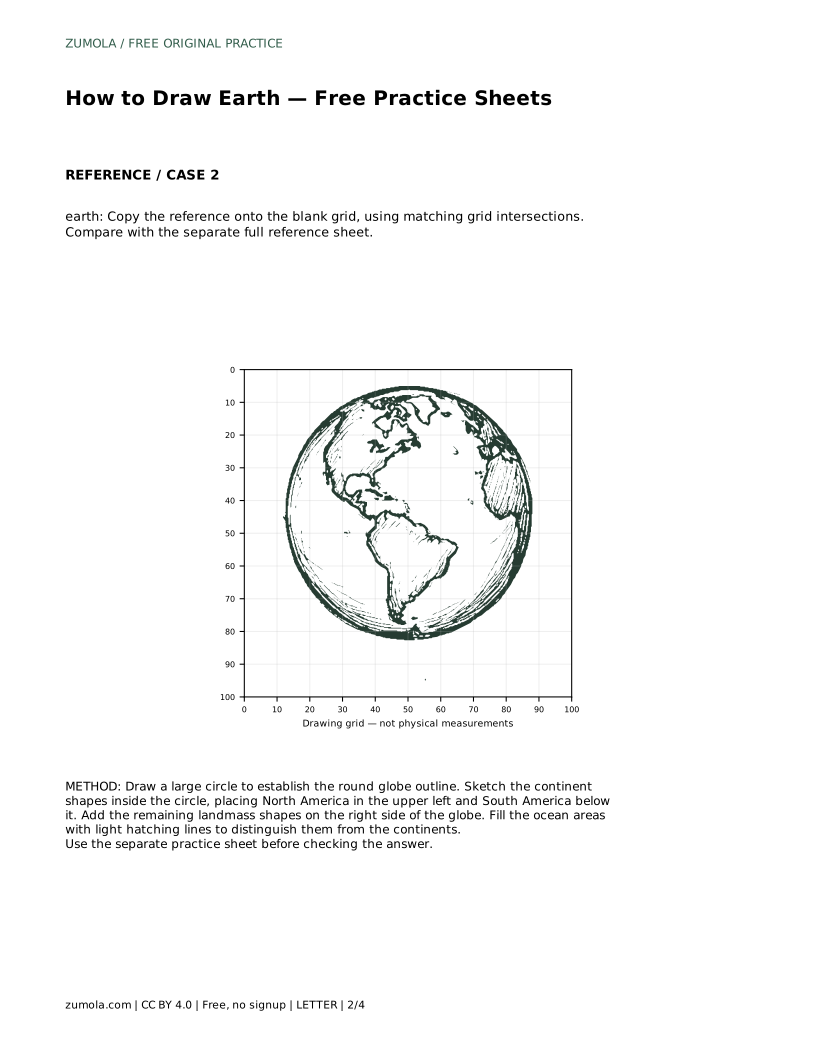
earth: Trace the reference outline, then practise the contour independently. Compare with the separate full reference sheet.
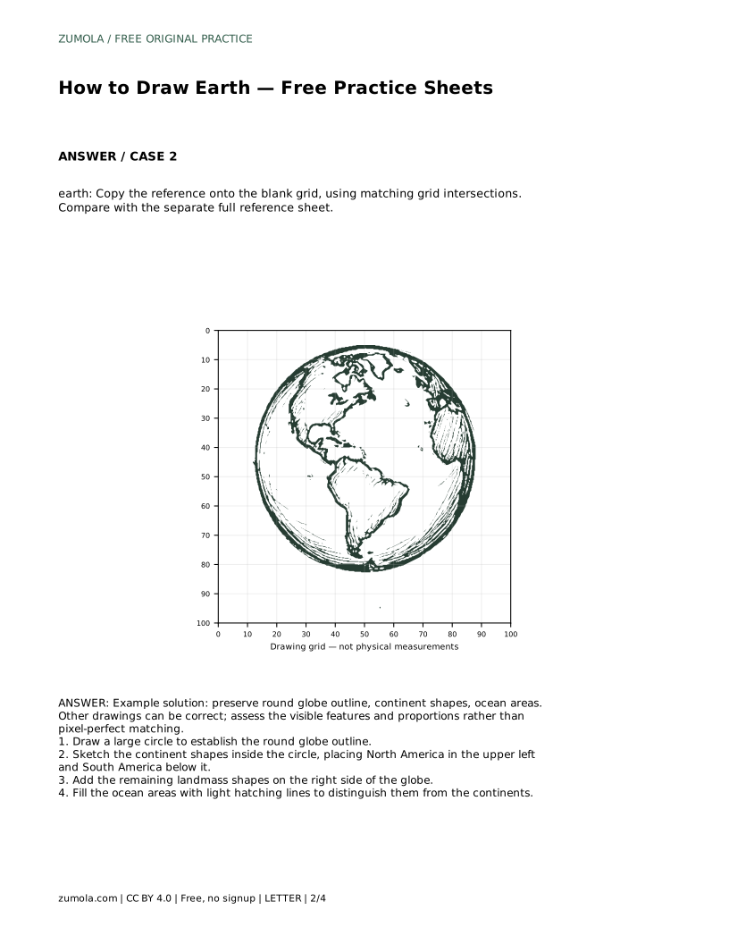
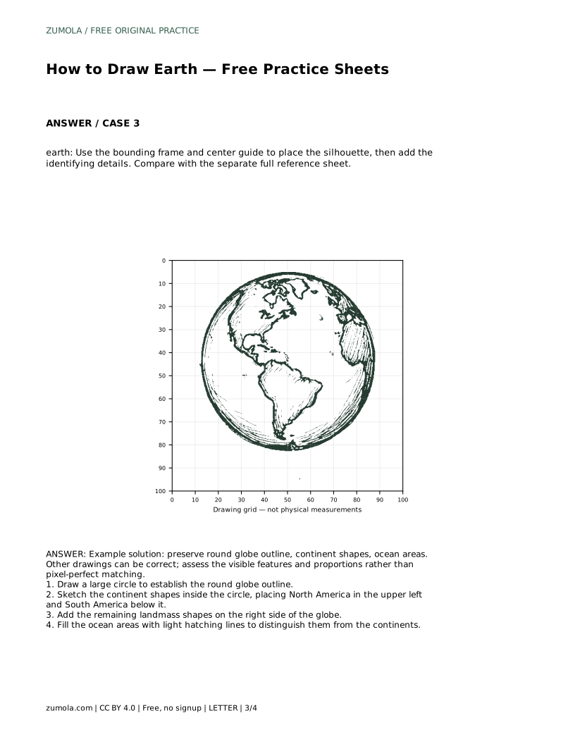
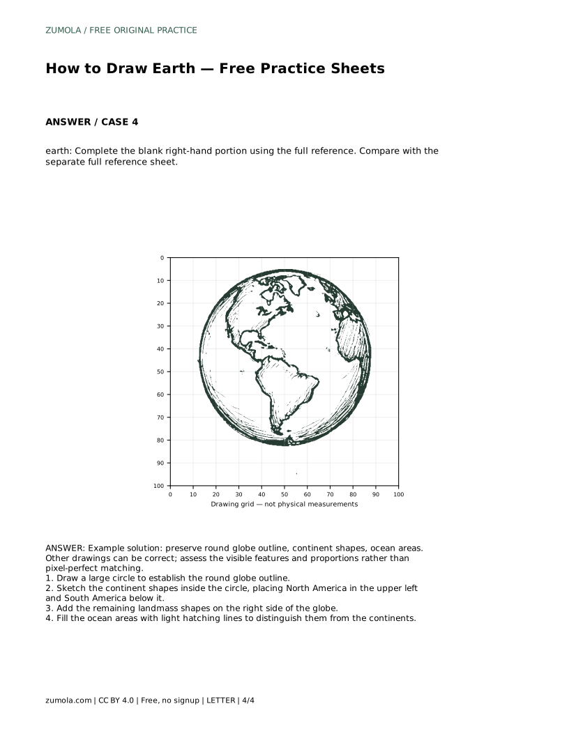
Example solution: preserve round globe outline, continent shapes, ocean areas. Other drawings can be correct; assess the visible features and proportions rather than pixel-perfect matching. Draw a large circle to establish the round globe outline. Sketch the continent shapes inside the circle, placing North America in the upper left and South America below it. Add the remaining landmass shapes on the right side of the globe. Fill the ocean areas with light hatching lines to distinguish them from the continents.
No. A clear outline with recognizable continent shapes and visible ocean areas is enough; refine edges only after placement is correct.
Yes. Multiple valid outcomes exist. Assess visible features and proportions rather than pixel-perfect matching.
Globe circle first, then North America upper left, South America below it, remaining landmasses on the right, and finally light ocean hatching.
All drawing practice · Free coordinate paper
Original resources · CC BY 4.0 · Free for personal and classroom use with attribution.